Montevideo City Tour: The Best Self-Guided Route to See It All
A complete city tour of Montevideo — the landmarks, neighborhoods, and views worth seeing, mapped into one route with AI audio narration.

Montevideo is easiest to appreciate as a connected city, where a self-guided route can move from the stone lanes of Ciudad Vieja to the wide sweep of the Rambla and end in the parks and neighborhoods that show how locals actually live. This kind of tour works especially well here because Montevideo unfolds in layers: colonial details, portside history, Art Deco facades, markets, and long coastal views all fit together in one walkable story.
What a Good City Tour of Montevideo Should Cover
Instead of hopping between isolated sights, a good route lets you see how the city changes block by block, with each stop adding context to the last. Votura AI generates audio tours matched to the traveller’s available time, preferred transport, and chosen theme, so you can shape Montevideo into a smooth half-day stroll, a longer walking route, or a mixed transit experience without losing the thread of the city.
Montevideo of Quiet Power and European Pretension
This route follows Montevideo’s civic and elite architecture from the downtown core to the river-facing western edge of the city, then resumes in the upper-class neighborhoods farther east. It runs through the ceremonial heart around Plaza Independencia, the old commercial and club district near the port, and then into Carrasco, Punta Gorda, and the waterfront promenades where wealthy families built their houses and villas. What makes it worth the time is the way the city changes block by block: one street of formal republic, another of theaters and clubs, then quieter residential avenues where the façades are more telling than the traffic.
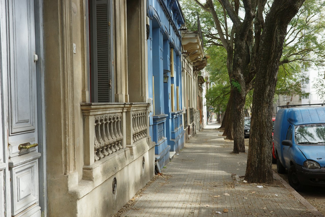
Palacio Santos is the first clear signal of diplomatic grandeur, with its late-19th-century Italianate face and the sense that it was designed to impress before anyone crossed the threshold. Palacio Salvo dominates Plaza Independencia with a silhouette that still looks slightly improbable, especially when seen against the open space of the plaza and the Solís nearby. At Plaza Independencia, the Artigas mausoleum sits below street level like an official pause in the middle of the city, and the square’s hard symmetry frames the route’s most ceremonial stretch. Teatro Solís is worth slowing down for the contrast between its disciplined exterior and the layered interiors, while Club Uruguay nearby preserves the patina of a social world that expected velvet, mirrors, and discretion. Catedral Metropolitana, with its restrained façade and busy piazza, leads into the older center, then the Bolsa de Valores de Montevideo and Plaza Zabala bring back the language of wealth, commerce, and old-town dignity; at Plaza Zabala the shaded trees and surrounding façades feel almost domesticated. Museo de Artes Decorativas, in the Palacio Taranco, is where the route becomes most explicitly aristocratic, with rooms that still read as staged domestic theater rather than a neutral museum, before the line of plazas and seafront houses toward Plaza Tomás Gomensoro, Castillo Pittamiglio, Plaza Virgilio, and Iglesia Stella Maris shifts the mood to residential prestige and ocean views.
The route
About 2 days, best walked from downtown eastward toward the coast.
- Palacio Santos
- Palacio Salvo
- Plaza Independencia
- Teatro Solís
- Club Uruguay
- Catedral Metropolitana
- Bolsa de Valores de Montevideo
- Plaza Zabala
- Museo de Artes Decorativas
- Plaza Tomás Gomensoro
- Castillo Pittamiglio
- Plaza Virgilio
- Iglesia Stella Maris
Paste it into the agent chat in Votura and it will build the map and the audio guide.
Before you go
Starting in the morning helps because the downtown section is livelier and the light is better on the façades, while the eastern half works well in the late afternoon when the coastline and parks feel less exposed. The walk is substantial but straightforward, with long urban stretches and some uphill movement around Punta Carretas, Punta Gorda, and Carrasco. Museums, churches, and club interiors may have limited visiting access or close on certain days, so the route still makes sense even if several stops are only observed from outside. Comfortable shoes, water, and some wind protection are sensible, especially once the route reaches the river and the coast.
Salt, Steel, and Smoke: Montevideo’s Working Waterfront Walk
Trace Montevideo’s waterfront over two long days as salt wind, diesel, gull calls, and grill smoke reveal the city’s harbor as a living workplace, not just a scenic edge. From Rambla Sur to Ciudad Vieja’s port face and the Mercado del Puerto zone, this walk follows customs houses, quays, ferry links, warehouses, and market streets to show how shipping, fishing, immigration, and daily labor shaped the city’s maritime identity. Along the route, you’ll connect the old customs zone, Puerto de Montevideo, the harbor’s economic afterlife, and the waterfront’s reinvention without losing its hard-working soul.
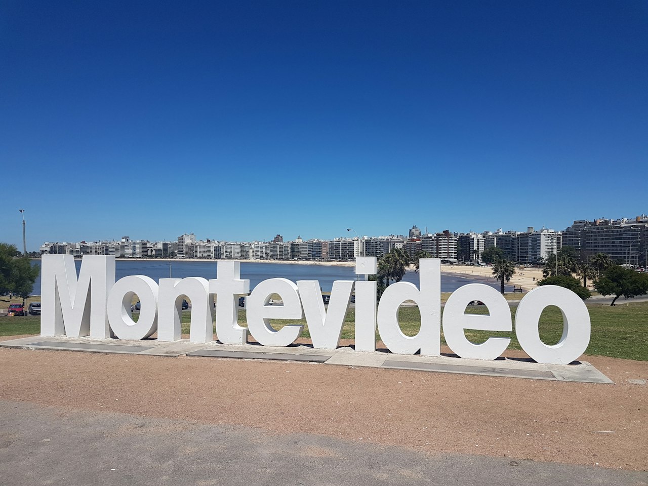
Along the way you pass Solis, Puerta de la Ciudadela, Plaza Matriz (Constitución), Catedral Metropolitana and more.
The route
About 2 days, split as you like.
- Solis
- Puerta de la Ciudadela
- Plaza Matriz (Constitución)
- Catedral Metropolitana
- El Bajo - Ciudad Vieja
- Plaza Zabala
- Movete (Mercado del Puerto)
- Museo del Carnaval
- Administración Nacional de Puertos
- Direccion Nacional de Aduanas
- Puerto de Montevideo
- Hospital Maciel
- Escollera Sarandí
- Rambla Sur
Paste it into the agent chat in Votura and it will build the map and the audio guide.
Before you go
About 2 days, split as you like. The audio guide works offline, so download it before you set off.
Velvet Coast: Montevideo’s Architecture of Wealth
This route traces Montevideo’s wealth map from the old center out toward the eastern neighborhoods, following the line of monuments, clubs, villas, parks, and sea-facing avenues that grew with the city’s elite. It begins at Plaza Independencia and ends in Carrasco at Iglesia Stella Maris, but the walk is really about the spaces in between: the ceremonial downtown, the parkland around Parque Rodó and Villa Biarritz, the Punta Carretas edge, and the long final stretch toward the coast. It earns the time because the architecture changes with every district, and the city’s social history is written in the façades, not in plaques.
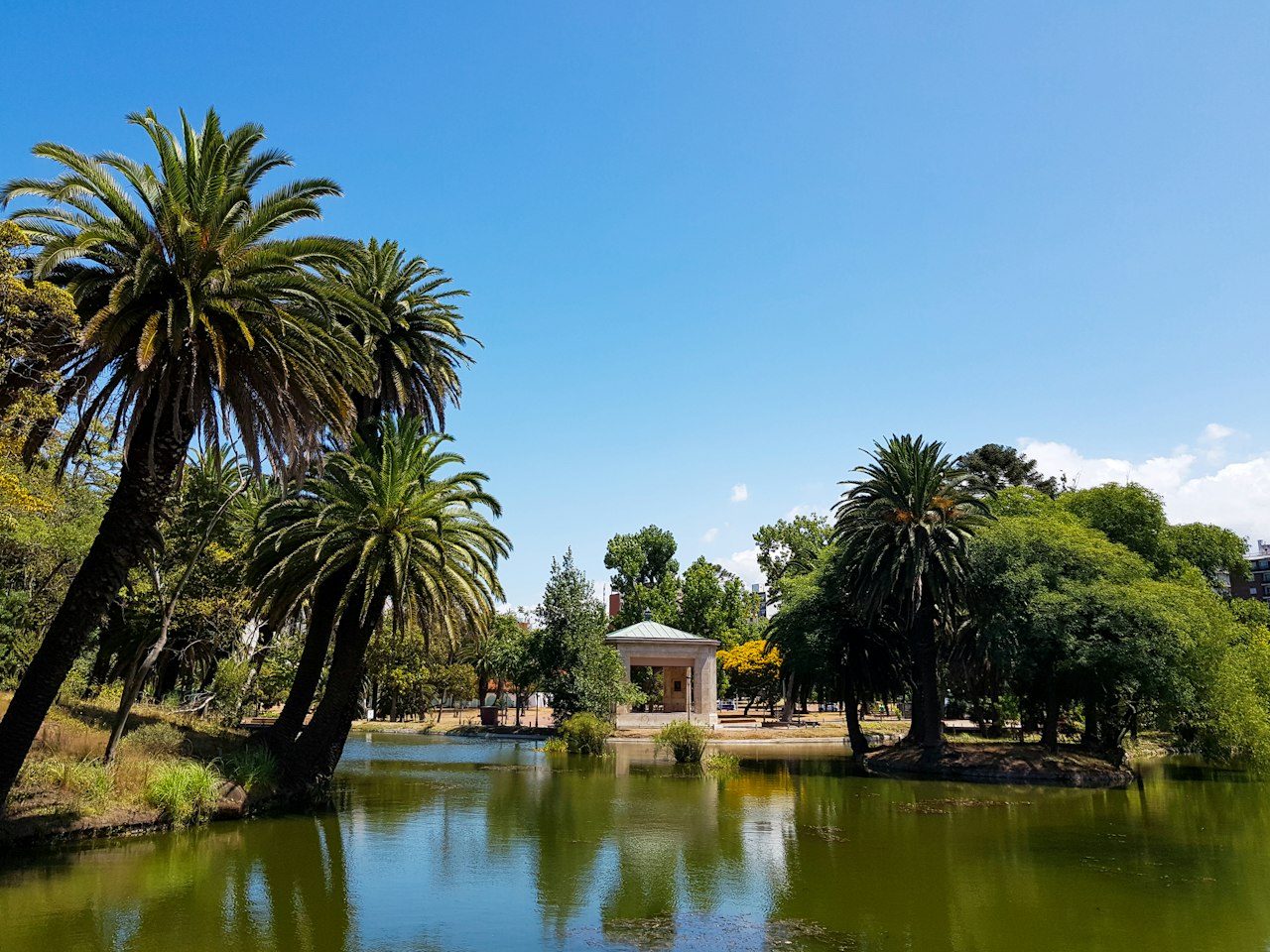
At Plaza Independencia, the shift from old city to modern center is immediate, with Palacio Salvo rising behind Artigas’s mausoleum in the middle of the square. Palacio Salvo is the first major spectacle, and what stands out is its layered mass and the oddness of its top, which looks theatrical even from a distance. Club Uruguay and the Museo de Artes Decorativas follow in the same ceremonial downtown zone, where ornate interiors and formal façades still carry the idea of private elite life. At the Museo Nacional de Artes Visuales del Parque Rodó, the setting becomes quieter; the building sits in the park rather than dominating it, and the walk from there to Parque de Villa Biarritz brings more residential calm, with tree cover and apartment blocks replacing the downtown stonework. Castillo Pittamiglio is easy to recognize for its eccentric, castle-like façade, and Plaza Tomás Gomensoro and Casa Museo Juan Zorrilla de San Martín shift the route into more settled, domestic elegance before the coastline takes over near Punta Brava Lighthouse, where the lighthouse itself and the open edge of the Rambla matter more than ornament. From there the scale opens out again at Parque Rivera and Plaza Virgilio, then becomes more suburban and ordered around Plaza Arocena Shopping Mall, before the route closes at Iglesia Stella Maris, whose position and clean white presence fit the Carrasco seafront better than any grand gesture would.
The route
Plan for two days, walking from Plaza Independencia eastward toward Iglesia Stella Maris.
- Plaza Independencia
- Palacio Salvo
- Club Uruguay
- Museo de Artes Decorativas
- Museo Nacional de Artes Visuales del Parque Rodó
- Parque de Villa Biarritz
- Castillo Pittamiglio
- Plaza Tomás Gomensoro
- Casa Museo Juan Zorrilla de San Martín
- Punta Brava Lighthouse (Faro de Punta Carretas)
- Parque Rivera
- Plaza Virgilio
- Plaza Arocena Shopping Mall
- Iglesia Stella Maris
Paste it into the agent chat in Votura and it will build the map and the audio guide.
Before you go
Early morning works best, especially for the long eastern stretch, because the light is better for façades and the Rambla can feel harsh in wind later in the day. The walking is long but straightforward, with some flat park sections and some substantial distance between the downtown core, Punta Carretas, and Carrasco. The museums and smaller institutions can have limited hours or be closed on certain days, so it is safer to plan the route around the exterior and treat interiors as optional. Bring water, sun protection, and comfortable shoes; the exposed seaside sections and the long crossings between neighborhoods add up.
Montevideo’s Velvet Geography: Carrasco to Centro in 2 Days
This route is a long walk from Carrasco’s eastern edge into the city center, ending at the Civic Center and the old downtown grid. It follows a line of broad avenues, formal squares, theaters, clubs, and government buildings before turning toward the riverfront and back to the residential east. What makes it worth the time is the way Montevideo changes in small, visible steps: from seaside villa districts and Beaux-Arts grandeur to the dense, stone-built center and then back out to quieter, more domestic frontage along the rambla. It is less a sightseeing sprint than a slow reading of how the city staged itself in the 20th century.
Avenida 18 de Julio is the route’s spine in the center, noisy and layered, with department stores, office fronts, and old façades pressed shoulder to shoulder. At Plaza de Cagancha the column in the middle of traffic makes the square feel like a hinge rather than a pause. Solís appears with its heavy, ceremonial frontage, and from there Palacio Salvo rises in a way that still feels slightly theatrical against the skyline. At Plaza Independencia the city’s official face comes into view, with the gateway to the Old City framing the square and Artigas standing at the center of the ceremonial space. Cabildo and then Peatonal Sarandí narrow the mood: the Cabildo’s sober colonial lines, then Sarandí’s pedestrian street with its shops, street art, and restored fronts, leading naturally to Plaza Matriz (Constitución), where the cathedral and the surrounding low buildings give the oldest part of downtown a more intimate scale. After that, the route opens again on Rambla República de Chile, where the sea and the long edge of the city take over, and at Plaza Virgilio the view broadens toward the bay. Museo y Parque Fernando Garcia reads as a quieter, greener interruption before the walk finishes on Rambla de Carrasco, where the architecture turns more residential and the waterfront feels more local than monumental.
The route
Best walked from Centro toward Carrasco over two days, with the first day urban and the second day riverfront.
- Avenida 18 de Julio
- Plaza de Cagancha
- Solis
- Palacio Salvo
- Plaza Independencia
- Cabildo
- Peatonal Sarandí
- Plaza Matriz (Constitución)
- Rambla República de Chile
- Plaza Virgilio
- Museo y Parque Fernando Garcia
- Rambla de Carrasco
Paste it into the agent chat in Votura and it will build the map and the audio guide.
Before you go
Starting early helps, especially for the long center-to-east stretch, when the heat and traffic are easier to manage and the squares are less crowded. The walking is straightforward rather than strenuous, but it is a genuine full-day-to-two-day route with a lot of pavement and several long open stretches along avenues and the rambla. Museums, churches, and civic buildings can have limited hours, so the route works best when the outdoor parts are treated as fixed and the indoor stops are optional. Bring water, sun protection, and something for wind off the river, which can make the rambla feel cooler than the city streets.
Montevideo’s Upper-Class Stage: Carrasco to Centro
This route is a long cross-section of Montevideo’s social history, starting in the east with Carrasco’s resort-era seafront and ending in the older civic center around Plaza Independencia and Ciudad Vieja. It follows the city as it shifts from garden-suburb formality and coastal promenades into the gridded avenues, theaters, plazas, and ceremonial architecture of downtown. The walk earns its time because the changes are visible block by block: detached villas and the Hotel Carrasco give way to Avenida 18 de Julio, then to the stone façades and public squares that staged the capital’s self-image.
Avenida 18 de Julio sets the pace with traffic, shopfronts, and the long commercial spine of the city; at Plaza Cagancha, the tall white column of the Pirámide marks a formal pause in the avenue. Palacio Salvo still dominates the skyline with its odd silhouette, and Plaza Independencia opens the view toward the old gateway between Centro and Ciudad Vieja. At Teatro Solís, the restrained neoclassical frontage is worth a close look before the route spills into Peatonal Sarandí, where street paving, cafés, and restored façades lead toward Plaza Matriz (Constitución) with its cathedral and the square’s older, quieter scale. Plaza Zabala feels more enclosed and residential, and Taranco Palace adds carved stone, ironwork, and the museum setting that makes the old elite’s taste easy to read. The eastern extension through Maroñas and Jardines del Hipódromo shifts the mood sharply: less monumental, more neighborhood-based, with the racecourse area and suburban streets leading back to the water at Rambla República de Mexico and finally to Iglesia Stella Maris, where the coastal setting and pale church mass finish the route on a lighter, open edge.
The route
Best walked in two days, from Carrasco toward Centro, east to west.
- Avenida 18 de Julio
- Plaza de Cagancha
- Palacio Salvo
- Plaza Independencia
- Teatro Solís
- Peatonal Sarandí
- Plaza Matriz (Constitución)
- Plaza Zabala
- Taranco Palace (Palacio Taranco)
- Maroñas
- Jardines del Hipódromo
- Rambla República de Mexico
- Iglesia Stella Maris
Paste it into the agent chat in Votura and it will build the map and the audio guide.
Before you go
Starting in Carrasco works well because the coastal light and less crowded streets make the first stretch easier, and the route then ends where public transit is straightforward in the city center. The walking is substantial and uneven in rhythm: long flatter sections on the Rambla and in Centro, then more stop-and-go walking through plazas, crossings, and residential blocks. Centro is busiest around Avenida 18 de Julio, Plaza Independencia, and Peatonal Sarandí; museums and church interiors on this route can have limited schedules, so it is safer to plan the day around exteriors. Bring water, sun protection, and comfortable shoes, because the pavement, wind off the river, and repeated crossing delays make the route feel longer than the map suggests.
How to Start Your Montevideo Tour with Votura
- Open Votura and tap Explore
- Search for Montevideo or let the app detect your location
- Browse available tours or tap Generate to create a custom tour
- Hit Play and follow the audio guide stop by stop
All tours include audio narration, a route map, and estimated stop times. Download any tour for offline access before you travel.
Sources
- Montevideo — Creative Cities Networkunesco.org
- Uruguay — UNESCO World Heritage Conventionwhc.unesco.org
Frequently Asked Questions
What is the best way to tour Montevideo on your own?
The post recommends following a connected self-guided route rather than jumping between isolated sights. This lets you move from Ciudad Vieja to the Rambla and then into neighborhoods that show how locals live, while seeing how the city changes block by block.
Where does the Montevideo city tour start?
The route begins around Plaza Independencia in the ceremonial heart of the city. From there, it moves through the downtown core, the old commercial and club district near the port, and then farther east into neighborhoods like Carrasco and Punta Gorda.
How long does a self-guided Montevideo tour take?
The article says the route can be shaped to fit your available time. Votura AI can generate a half-day stroll, a longer walking route, or a mixed-transit experience depending on what you choose.
What sights are included in the Montevideo city tour?
The route includes Palacio Santos, Palacio Salvo, Plaza Independencia, the Artigas mausoleum, Teatro Solís, Club Uruguay, Catedral Metropolitana, the portside district, and the waterfront neighborhoods farther east. It also highlights the Rambla, parks, and residential areas that show everyday local life.
Can I do Montevideo as a walking tour?
Yes, the post says Montevideo works especially well as a walkable self-guided tour. You can also make it a mixed transit experience if you want to cover more ground without losing the flow of the route.
Hear this city out loud
Votura turns the places in this guide into a self-guided audio tour you can follow at your own pace.